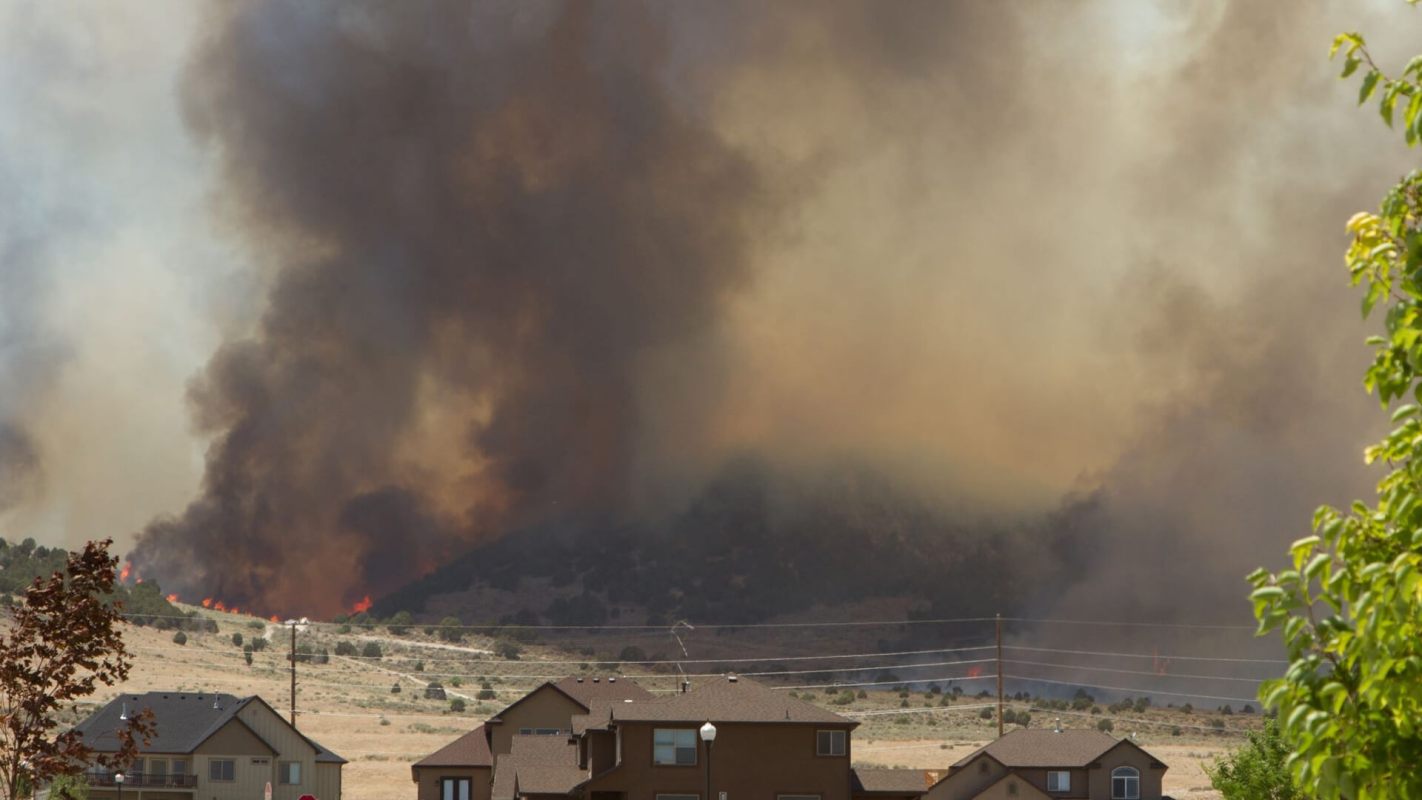
A major reality of changing temperatures and extreme weather is the risk posed to our homes by the increasing frequency of floods, droughts, cold snaps, heat waves, and other changes to weather patterns.
Beyond the risk of physical damage to property, certain areas will likely see an increased premium price for services like flood or fire insurance and may also experience reduced resale values.
Luckily, a number of resources can help you know the specific future dangers your property may face so that you can prepare now rather than later.
The National Risk Index
FEMA has compiled thousands of data points into an interactive map that details 18 different hazards associated with certain areas, ranging from avalanches and hail storms to floods and droughts. This extensive information is a good starting point for evaluating the vulnerability of your home against natural disasters.
The Sea Level Rise Viewer
The National Oceanic and Atmospheric Administration (NOAA) has paired a map of the U.S. coastline with a water level slider. This allows anyone with a property in a coastal or marshland area to view risks posed by rising sea levels. The Sea Level Rise Viewer also explores areas that will be affected by high-tide flooding as the coastline shape changes over time.
Wildfire Risk To Communities
Created by the USDA Forest Service, the Wildfire Risk to Communities tool allows anyone to assess the potential danger of wildfires to their neighborhood. While much of the website is geared toward community leaders, there is a wealth of information for individual homeowners about things they can do to protect their properties from fire and smoke.
Risk Factor
Offered by the nonprofit First Street Foundation, the online tool Risk Factor creates a free risk assessment for any given property from dangers such as flooding or fire. While Risk Factor is a nongovernmental entity, the methods for its risk assessments are available online for transparency.
ClimateCheck
ClimateCheck is a for-profit organization that generates a detailed analysis of a property and the potential dangers posed to it by the changing climate in the next 40 years. It also offers an analysis of entire geographic areas and corridors to see the potential risks beyond the scope of a single home.
Climate Risk & Resiliency Portal
Created by multiple government agencies, The Climate Risk & Resiliency Portal (or ClimRR) shows simulated effects of the changing climate. Users can draw on an interactive map and review the summary of the generated data points. Anyone can compare historical stats for things like maximum temperature for a given area against what current scientific models predict for that area in the future.
Follow The Cool Down on Instagram and subscribe to our newsletter.


